Los Algodones & Andrade Border Guide
Yuma Airport to Los Algodones Travel Map
See Yuma International Airport, the Andrade border crossing, and Complete Advanced Dentistry in one route-first view. Use the map controls to focus on the airport or the short border-to-clinic arrival path, then open the route in your preferred map platform.
Visitor route
Your trip at a glance
See the relationship between Yuma International Airport, the Andrade border crossing, and Complete Advanced Dentistry.
Three simple stops
Follow the arrival sequence.
Start at Yuma International Airport, cross through Andrade, then walk the final short stretch to the clinic.
- 1 Yuma International Airportairport
- 20-25 min driveAirport to Andrade crossing
- 2 Mexico border / Andrade Port of Entryborder
- About 3 min walkAndrade crossing to clinic
- 3 Complete Advanced Dentistryclinic
Loading the visitor route map.
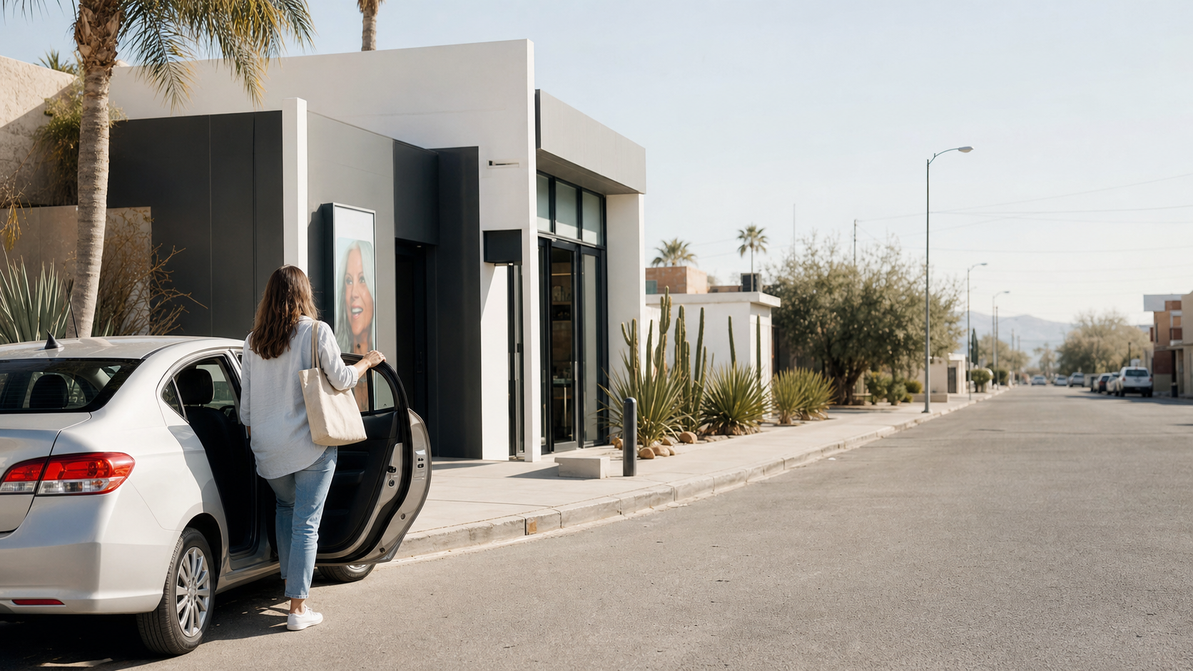
Arrival
A calmer final stretch.
See the clinic-side arrival context before you choose a route. The map above keeps the useful details and outbound directions one tap away.

Care team
The people behind your visit.
Your travel plan ends at a real clinical team. Continue with the guide when you are ready to plan the appointment details.
Useful places
Airport banks and ATMs
These listings come from a cached OpenStreetMap snapshot. Verified official details are highlighted when available.
- Loading available locations.
Before you travel
Travel times are planning estimates and can change with traffic, transportation choice, and border conditions. Confirm your appointment and arrival plan with the clinic, and use official government sources for current crossing requirements.